±84.5 Acres on SH 56
State Highway 56, Southmayd, TX 76268
Price
Call for pricing
- Size
- ±84.5 AC
- Detail
- 85.494 AC record survey
- Type
- Land
- County
- Grayson
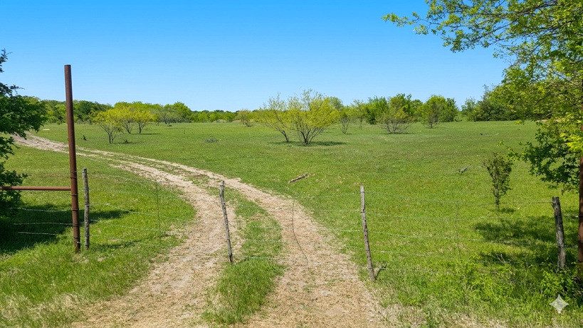
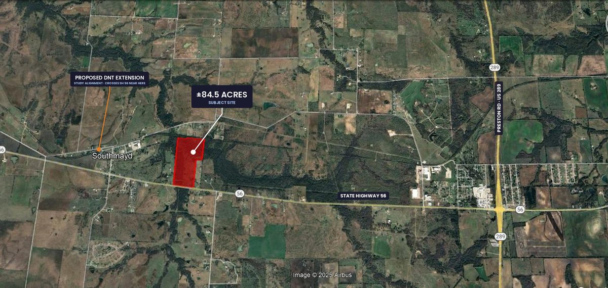
A single ±84.5-acre tract with good frontage on State Highway 56, roughly a mile east of where Grayson County's adopted preferred alignment for the Dallas North Tollway extension ties into SH 56. Improved pasture running cattle today — income and enjoyment while the corridor develops.
Property Overview
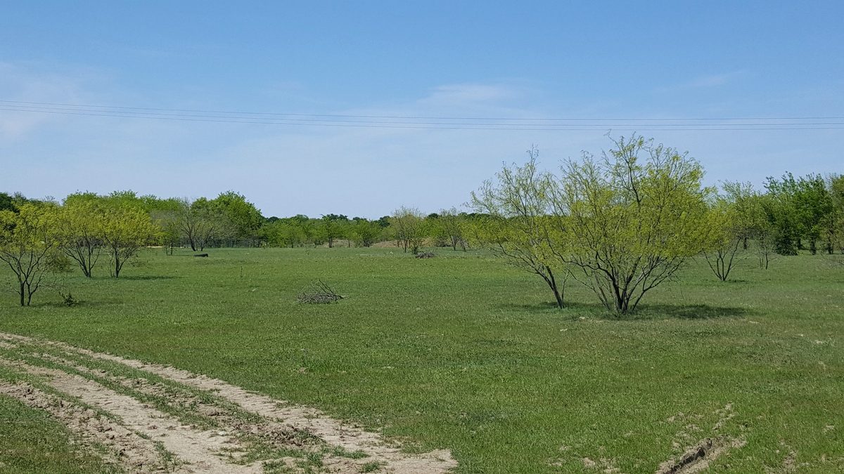
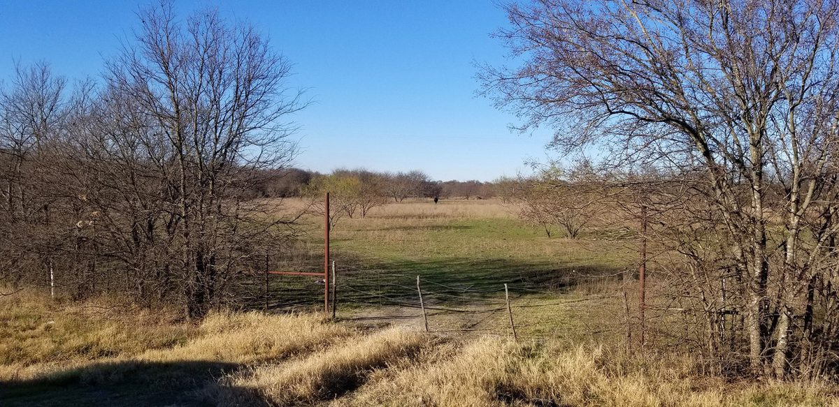
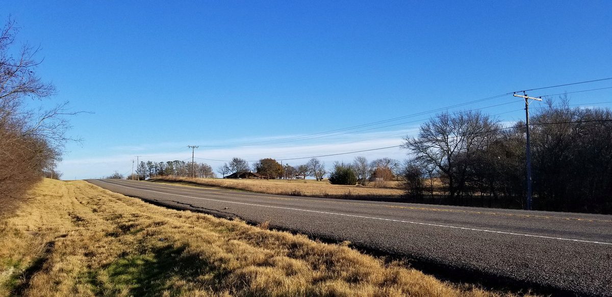
±84.5 acres of improved Grayson County pasture with good frontage on State Highway 56, about three miles west of Preston Road (US 289). The tract lies in the J.J. Guest Survey (A-463) and the Benjamin Trammel Survey (A-1220), with a wet-weather creek crossing the eastern portion and mature tree cover along the drainage.
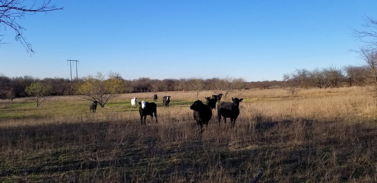
The land runs cattle today and works as-is as a ranch or recreational holding. Its second life is the corridor: Grayson County's adopted preferred alignment for the Dallas North Tollway extension ties into SH 56 at the west edge of downtown Southmayd, roughly a mile from this tract. The alignment is a study recommendation, not a funded or constructed road.
Roughly 80 acres sit in unincorporated Grayson County, which has no county zoning; the SH 56 frontage strips are inside Southmayd city limits and carry city zoning. Ag valuation, utilities, floodplain and entitlements must be verified with the County and the City.
Highlights
- ±84.5 contiguous acres · one tract, one owner
- ±80 AC unzoned — Grayson County has no county zoning
- Good SH 56 frontage · ±3 mi west of Preston Rd (US 289)
- ±1 mi from the proposed DNT extension / SH 56 tie-in
- Improved pasture · cattle today · wet-weather creek
Trade Area & Traffic
| Trade Area | 2 Miles | 5 Miles | 10 Miles |
|---|---|---|---|
| Population (2025) | 494 | 3,273 | 61,839 |
| Households (2025) | 180 | 1,184 | 23,668 |
| Avg. HH Income | $104,651 | $104,882 | $88,306 |
| Median Home Value | $329,545 | $322,973 | $271,977 |
Traffic: 2,891 VPD on State Highway 56 at Spalding Rd, ±2.1 mi from the site (2026).
Potential Uses
- Ranch or recreational buyer · cattle in place
- Land bank ahead of the proposed tollway corridor
- Future residential or rural development
- 1031 exchange placement
Tollway alignment is a study recommendation only — not funded, scheduled or constructed.
Photos & Maps
Location
Map location is approximate.


